
Innovative satellite navigation for Maastricht Aachen Airport
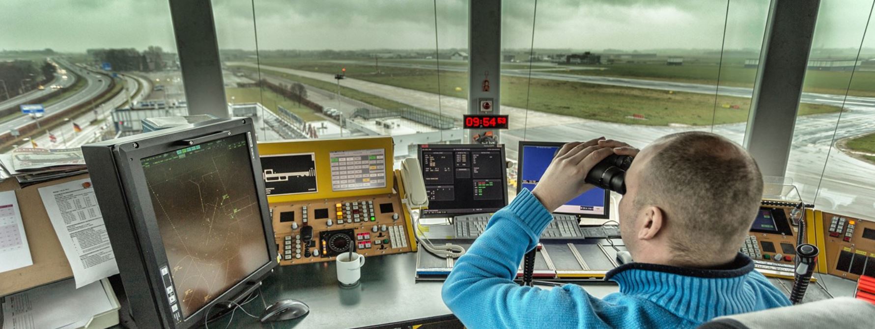
Aircraft landing at Maastricht Aachen Airport (MAA) in a south-westerly direction (runway 21) can now use innovative satellite navigation. Now the aircraft no longer navigates via physical beacons on the ground, but with a GPS signal from satellites to the runway. As a result, Air Traffic Control the Netherlands (LVNL) can develop more efficient flight routes. With the introduction at MAA, all five airports where LVNL provides air traffic control are now equipped with this new technology.
The advantage is that approaching aircraft that want to land on runway 21 on MAA can land with a continuous descent. This means that aircraft descend more evenly and with less engine power, leading to less noise pollution. With this, LVNL is fulfilling a request from the members of the Maastricht Regional Consultation Committee (CRO). The procedures had already been carried out in practice by air traffic controllers and pilots, but this has now been recorded in the aviation guide. The flight paths and altitudes remain the same. The intention is to introduce this landing method soon for aircraft landing in a northeasterly direction (runway 03).
Sustainability
With satellite navigation becoming the norm, several navigation beacons on the ground are being decommissioned. This contributes to sustainability, because disposing of the beacons saves energy and maintenance costs. LVNL will continue to invest in navigation beacons on the ground, so that aircraft that cannot fly on satellite navigation can continue to navigate safely. The navigation beacons on the ground also serve as one of the back-up systems in the event of a failure in the satellite navigation. Of the nine beacons in total in the Netherlands, the beacons at Rotterdam, Schiphol, Groningen and Maastricht will remain in use. Together they provide national coverage.
Precursor
Satellite navigation is being introduced worldwide in steps. In Europe, satellite navigation gives substance to the plans of the European Commission to better connect all parts of the airspace within Europe. LVNL is one of the forerunners in Europe.
The development of satellite navigation is co-financed by the Connecting Europe Facility.


.png)


Comments
There are no comments yet for this item
Join the discussion